
Deep Depression Turns into Cyclone 'Ornob', Warning Signal No. 2 for Four Ports
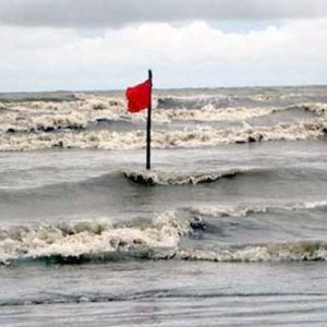
The deep depression formed in the Bay of Bengal has turned into Cyclone 'Ornob'. The weather office gave this information in an emergency forecast on Monday (26 October). According to the forecast, it may hit the coast on 28 October.
The Meteorological Department said the deep depression, which was over the east-central Bay of Bengal and adjoining southeast Bay, moved northwestwards and intensified into Cyclone 'Ornob' and is now over the east-central Bay and adjoining west-central Bay. Its position is 15.4 degrees north latitude and 89.0 degrees east longitude.
At 6am today (26 October), the cyclone was located 820 kilometres southwest of Chattogram seaport, 745 kilometres southwest of Cox's Bazar seaport, 785 kilometres south of Mongla seaport and 745 kilometres south of Payra seaport.
The forecast said the cyclone may move west-northwestwards and turn into a severe cyclone over the west-central Bay by midnight tonight (26 October). Later, moving northwestwards, it may cross India's Andhra coast on 28 October as a very severe cyclone.
Within 54 kilometres of the cyclone centre, the maximum sustained wind speed is 62 kilometres per hour, rising to 88 kilometres per hour in gusts or squalls. The sea is very rough near the cyclone centre.
Chattogram, Cox's Bazar, Mongla and Payra seaports have been asked to lower distant cautionary signal No. 1 and instead hoist distant warning signal No. 2.
Fishing boats and trawlers in the north Bay of Bengal have been asked to remain close to the coast and move cautiously until further notice.